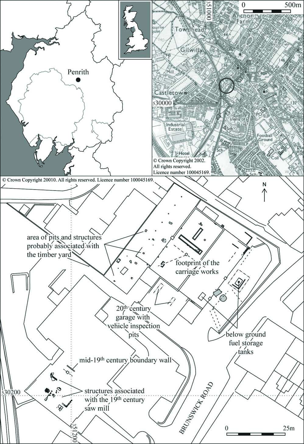
Brunswick Road, Penrith, Cumbria: Archaeological Watching Brief
An archaeological watching brief was carried out during the course of groundworks associated with the construction of new retail units, offices, storage, and associated parking at Brunswick Road, Penrith, Cumbria. The watching brief targeted two areas: the footprint of a 19th century saw mill (latterly occupied by the commercial premises of Rickerby’s) and the area of a 19th century carriage works (occupied by Bowman’s).
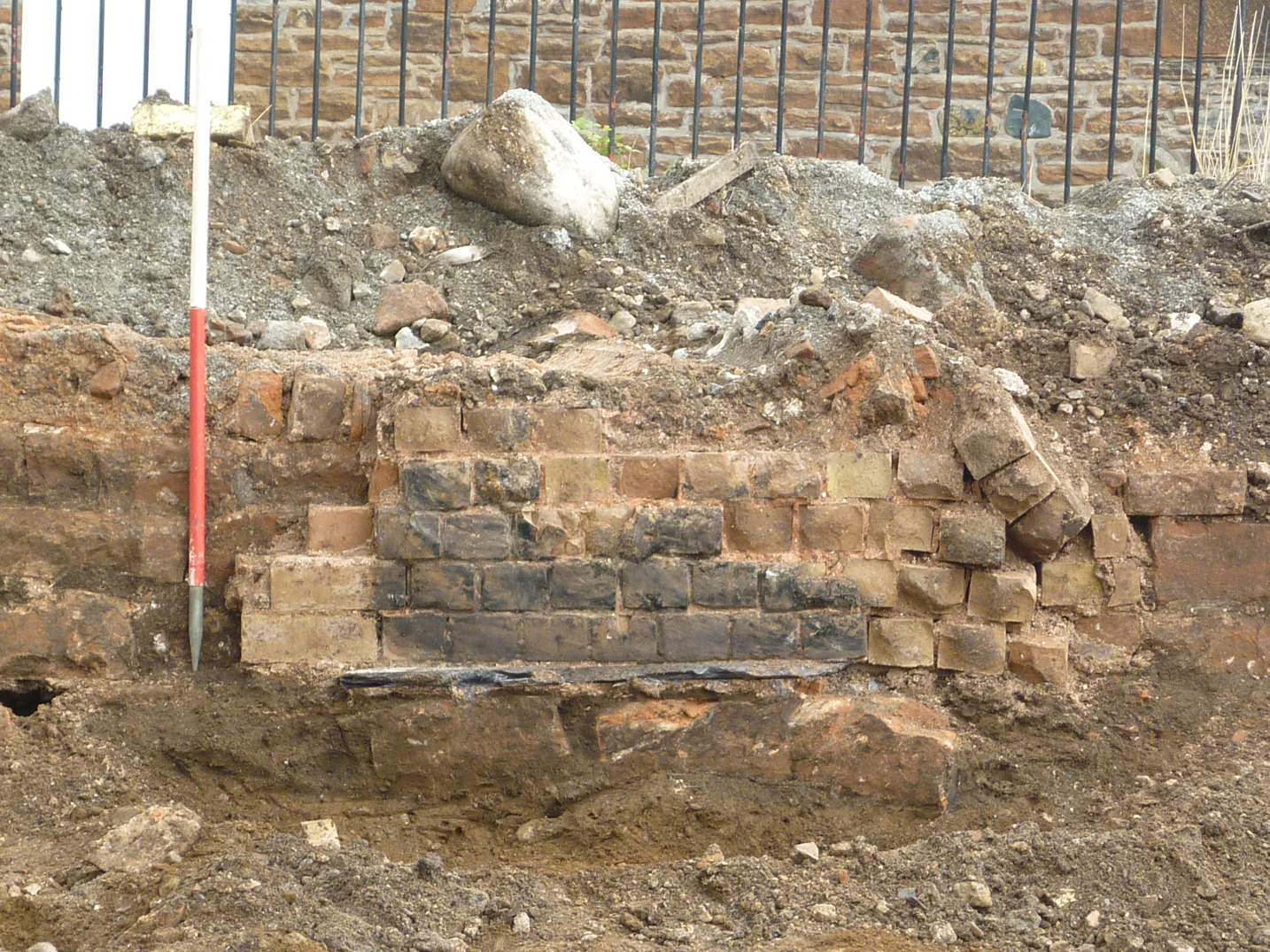
Various structural elements were exposed within the footprint of the Rickerby’s building, which probably related to the saw mill, and a north-west/south-east aligned wall was also revealed, which was closely aligned with a boundary wall shown on the tithe map of 1845. These earlier structural remains will effectively be preserved in situ since the depth of excavation caused only minimal damage to underlying features.
Much of the original structure of the carriage works, which was first constructed between 1891 and 1900, was also preserved below ground. The surviving fabric of the original structure included much of the north-west and the north-east elevation, which incorporated a brick hearth; the remains of the south-east elevation of the original structure was also exposed, although it is likely that this wall was removed to the level of its foundations when the carriage works was extended to the south-east between 1925 and 1938. A structure with a similar construction was exposed at the south-east end of the area, which probably also formed part of the original structure of the carriage works and originally had access from the courtyard to the north-east. Three other structures were located within the footprint of the original carriage works, two of which were assumed to have had some sort of industrial function. The third one was probably in use as a vehicle inspection pit when the building was used as a bus depot after the building stopped being used as a carriage works. Structural remains were also encountered that corresponded to the extension of this block of buildings to the south-east, but they may relate to or incorporate earlier structures built in this area between 1900 and 1925.
The earliest features were located at the north-west end of the site and were probably associated with the 19th century timber yard.
The full report is available on the Archaeology Data Service website: https://archaeologydataservice.ac.uk/archiveDS/archiveDownload?t=arch-700-1/dissemination/pdf/greenlan1-111323_1.pdf