
Call: 01229 388574
Unique Book & Antique Shop
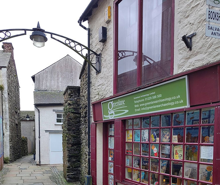
Founded in Ulverston in 2005, Greenlane Archaeology Ltd combines a specialist shop with trusted archaeological consultancy services. Our shop is the perfect place to discover an extensive range of titles covering history, archaeology, art, architecture, engineering, gardens and nature, TV and film, children’s books, and much more. While history and archaeology remain our specialisms, we pride ourselves on offering something for every reader and collector. Alongside our carefully selected books, visitors can also browse antiquities, architectural salvage, collectables and unique items.
Alongside the shop, we continue to provide respected archaeological consultancy services, supporting heritage projects and developments across the region. Our passion for books, antiques, and local history is matched by our commitment to professional standards and long-standing membership of organisations including the Chartered Institute for Archaeologists and the Federation of Small Businesses.
What we offer


What makes us different
Our unique combination of specialist bookselling, antiques, and professional archaeology creates a welcoming space for readers, collectors, researchers, and heritage enthusiasts alike. Our knowledgeable team is always happy to offer guidance, recommendations, and expert support whenever needed.
Based in Ulverston (LA12 7EE), we welcome visitors looking for anything from a rare history title to expert archaeological support. With an extensive online catalogue available to browse anytime, Greenlane Archaeology Ltd makes heritage, culture, and specialist knowledge accessible to everyone.
Discover our independent bookshop
Visit our book and antique shop catalogue or connect with us in Ulverston.
Visit us
Lower Brook St,
Ulverston, LA12 7EE