The Former Builder’s Yard, Collin Croft, Kendal, Cumbria: Archaeological Evaluation and Building Recording
Following a planning application for the construction of three residential properties on the site of a former builder’s yard, Collin Croft, Kendal, Cumbria a programme of archaeological investigation was requested by the Cumbria County Council Historic Environment Service (CCCHES). This comprised a desk-based assessment and archaeological evaluation in conjunction with recording of the standing buildings prior to demolition. The work was carried out by Greenlane Archaeology in July and August 2007.
The desk-based assessment revealed that the proposed development area was situated at the west end of medieval burgage plots running off Highgate, and that previous excavation in the general vicinity, including the east end of the same plot, had identified evidence of in situ medieval features and deposits. The history and development of Collin Croft has also been well studied, although the origin of the name is not certain. It is known that during the 18th century it began to fill with buildings, including several small-scale industries, and this growth continued into the 19th century. Within the study area, however, much of the land was undeveloped although a small stable was constructed at the end of the 18th century.
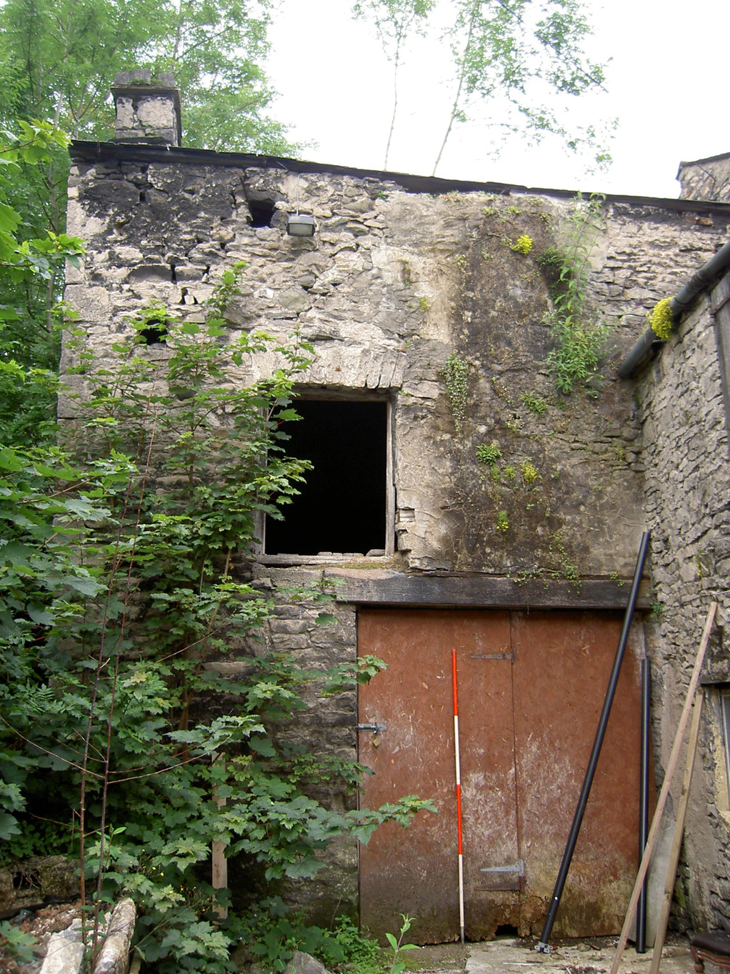
This stable and an associated outshut were recorded prior demolition as part of the development. Both were small two-storey buildings constructed from the local limestone, and the stable contained a well-preserved very late example of a raised cruck. Additional recording was carried out to record this unusual feature.
The archaeological evaluation revealed that the construction of the stable in the northern part of the site had truncated any deposits that might have existed beneath it. This part of the site appears to have been developed first, the building showing on Todd’s map of 1786. At the time of Todd’s map the southern part of the site appears to be still undeveloped, and the area appears to have been developed for horticulture by the time of Hoggarth’s map of 1853. A post-medieval cultivation soil was revealed in the southern part of the site into which medieval pottery had become incorporated. This deposit was bounded to the north by a drainage ditch and cut by a 19th century soakaway. The ditch appears to be the old plot boundary that was superseded by a stone wall in the 19th century.
The full report is available on the Archaeology Data Service website: https://archaeologydataservice.ac.uk/archiveDS/archiveDownload?t=arch-700-1/dissemination/pdf/greenlan1-30928_1.pdf


